ForestGuard AI · Wildfire alerts · Drone verification
Detect wildfires early, verify by drone
ForestGuard AI watches the forest 24/7 through cameras, recognises smoke and fire automatically, marks the suspected fire on the map, alerts the unit responsible and sends a drone to check on site.
Four steps from detection to verification
The four steps follow one another with no manual work. Operators focus on assessing the situation and deciding how to respond.
- 01
Detect
AI watches the images from every camera day and night and recognises smoke and fire as soon as they appear.
CAMERAS · AI - 02
Locate
The system works out where the suspected fire is and marks it on the map.
MAP LOCATION - 03
Alert
The unit responsible for the area receives an alert with images and location, on the monitoring screen and by phone.
THE RIGHT UNIT - 04
Verify
The drone at the nearest station flies out and streams live video to confirm whether there is a fire.
DRONE
AI recognises smoke and fire as soon as they appear
A forest is large, and operators cannot watch every camera day and night. AI does that job: it continuously analyses the images from cameras in the forest, outlines smoke and fire on the image and raises an alert.
- Watches 24/7, with no gaps when operators are away
- Tells smoke from fire so severity is clear from the start
- Outlines it on the image so operators see at once where to look
- Saves images and video of every detection
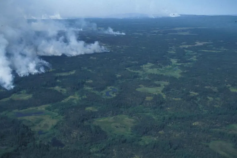 CAM-12 · Zone 04LIVE
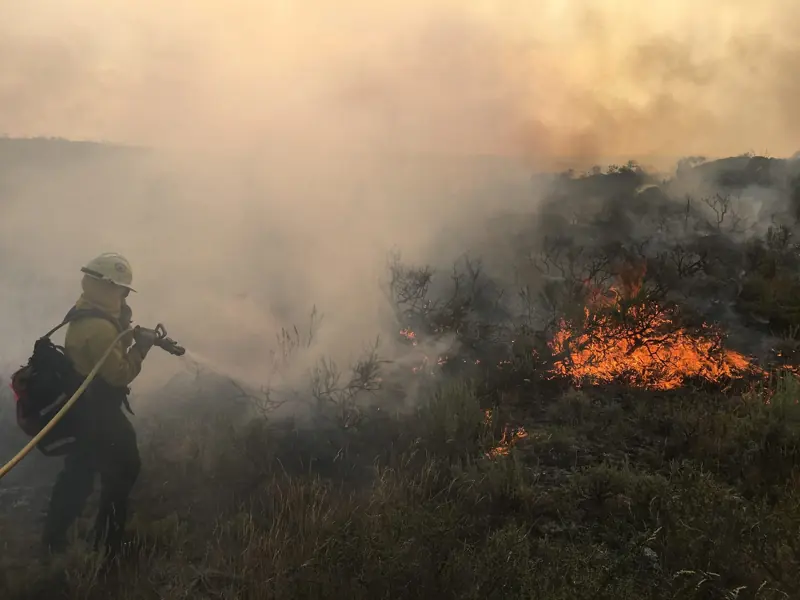 CAM-03 · Pine hillLIVE
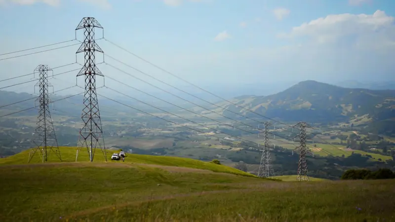 CAM-07 · HillsideLIVE
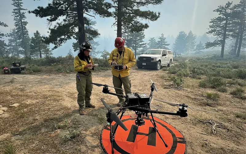 DRONE-07 · PatrolLIVE
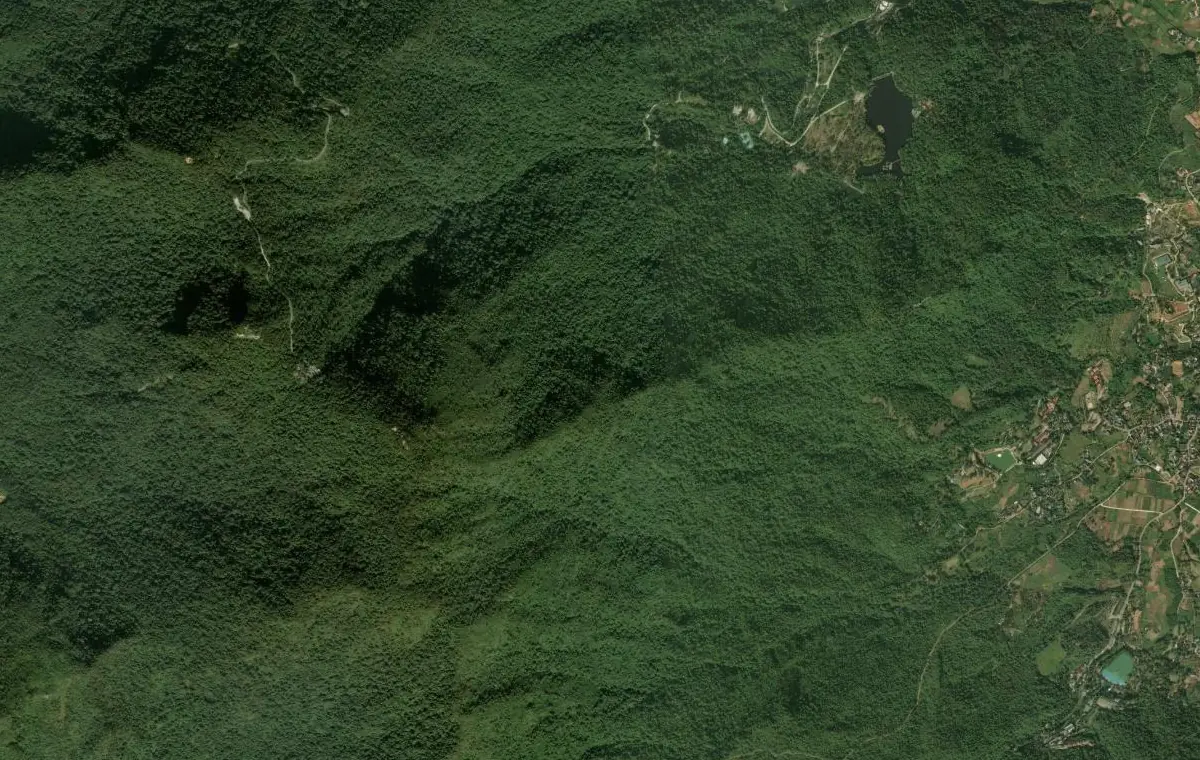 Image from CAM-03
Locating the fire with a camera
From the image of a single camera, the system works out which direction the suspected fire is in, how far it is from the camera and its coordinates on the map. Crews know immediately where to go.
- 1Outline the smoke or fire
AI finds the smoke or fire in the camera image.
- 2Work out direction and distance
Based on where the camera is installed, where it is looking and the local terrain.
- 3Mark it on the map
The coordinates of the suspected fire are sent with the alert and become the drone's destination.
Alerts reach the right unit, with full details
As soon as smoke or fire is detected, the system alerts the unit responsible for that area. Every alert already includes images and a location, so the recipient can assess it straight away.
- Two levels: smoke and fire
- Sent only to the unit responsible for the area concerned
- Includes images, video and the location on the map
- Verification and response are recorded for later review and statistics
Receive alerts via
- Monitoring screenShown instantly, with a sound
- Mobile appNotification on your phone
- EmailWith images and location
- TelegramSent to your unit's group
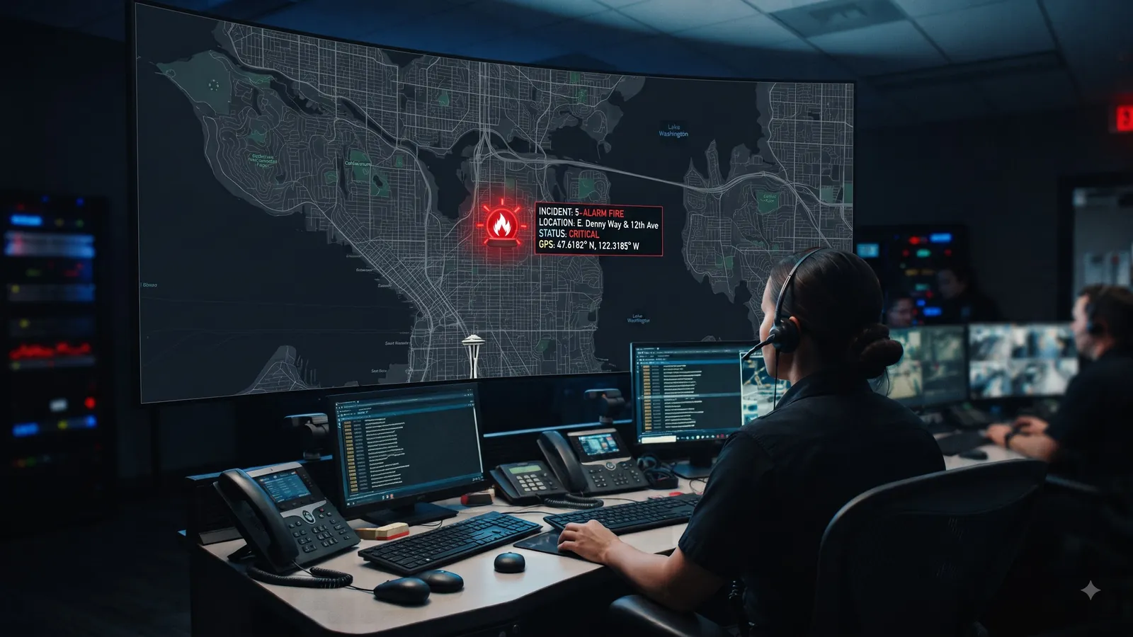
A drone flies out to verify smoke and fire
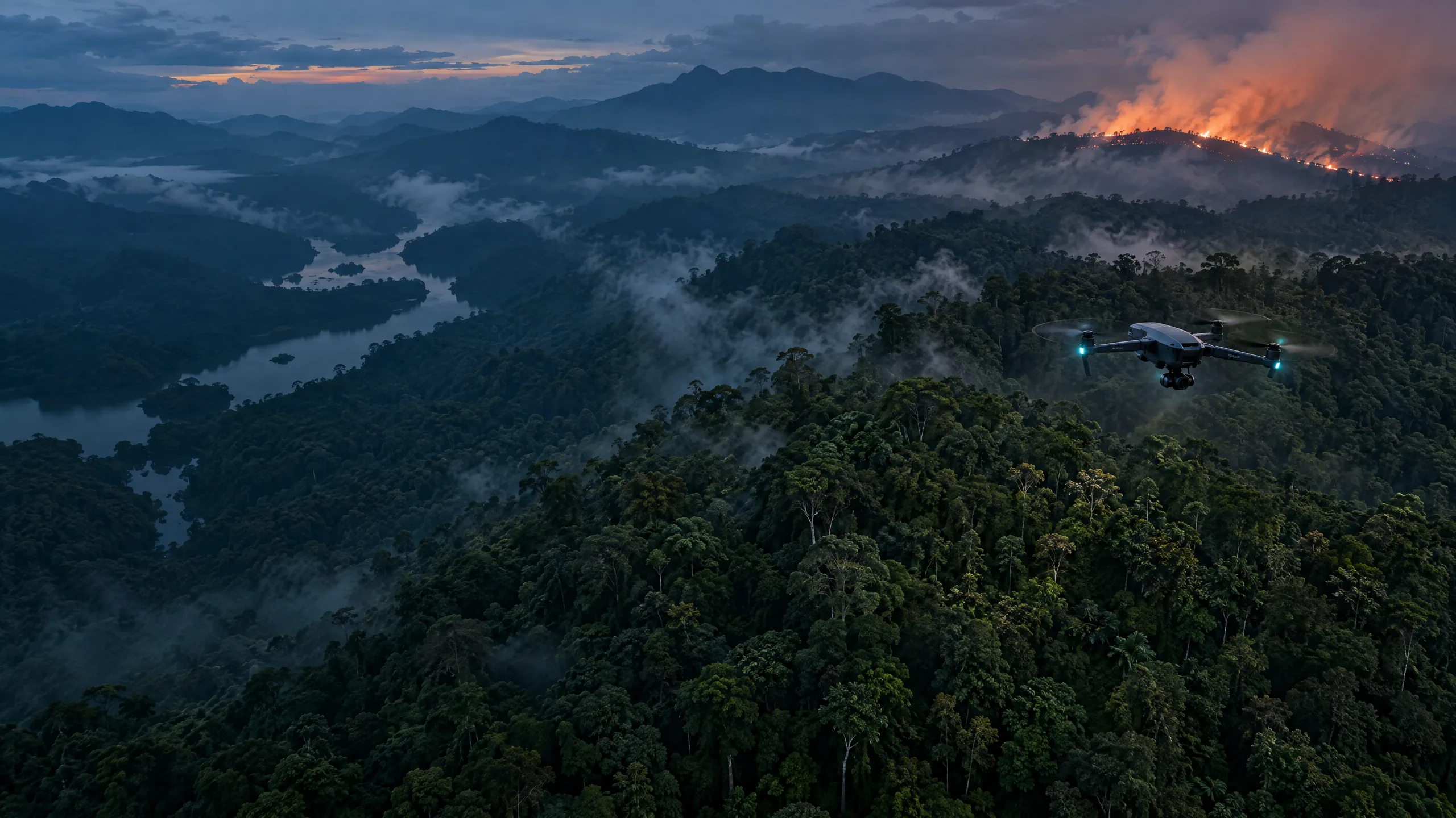
Fog or smoke from field burning can look like wildfire smoke. A drone flies to the spot to check before people have to be sent into the forest.
- 01
Pick the nearest drone
When an alert comes with a location, the system picks the ready drone at the station nearest to the suspected fire.
- 02
Safety checks, then take-off
Weather, battery and flight path are checked automatically before the drone leaves its station.
- 03
Observe from a safe distance
The drone stops at a safe distance from the suspected fire, records video, takes photos and streams live video to the monitoring centre.
- 04
Return to the station
When the task is done, the drone flies back to its station to recharge. Images and video from the flight are saved.
Automatic mode can be limited to set hours, for example at night when nobody is on duty. Operators can still step in at any time.
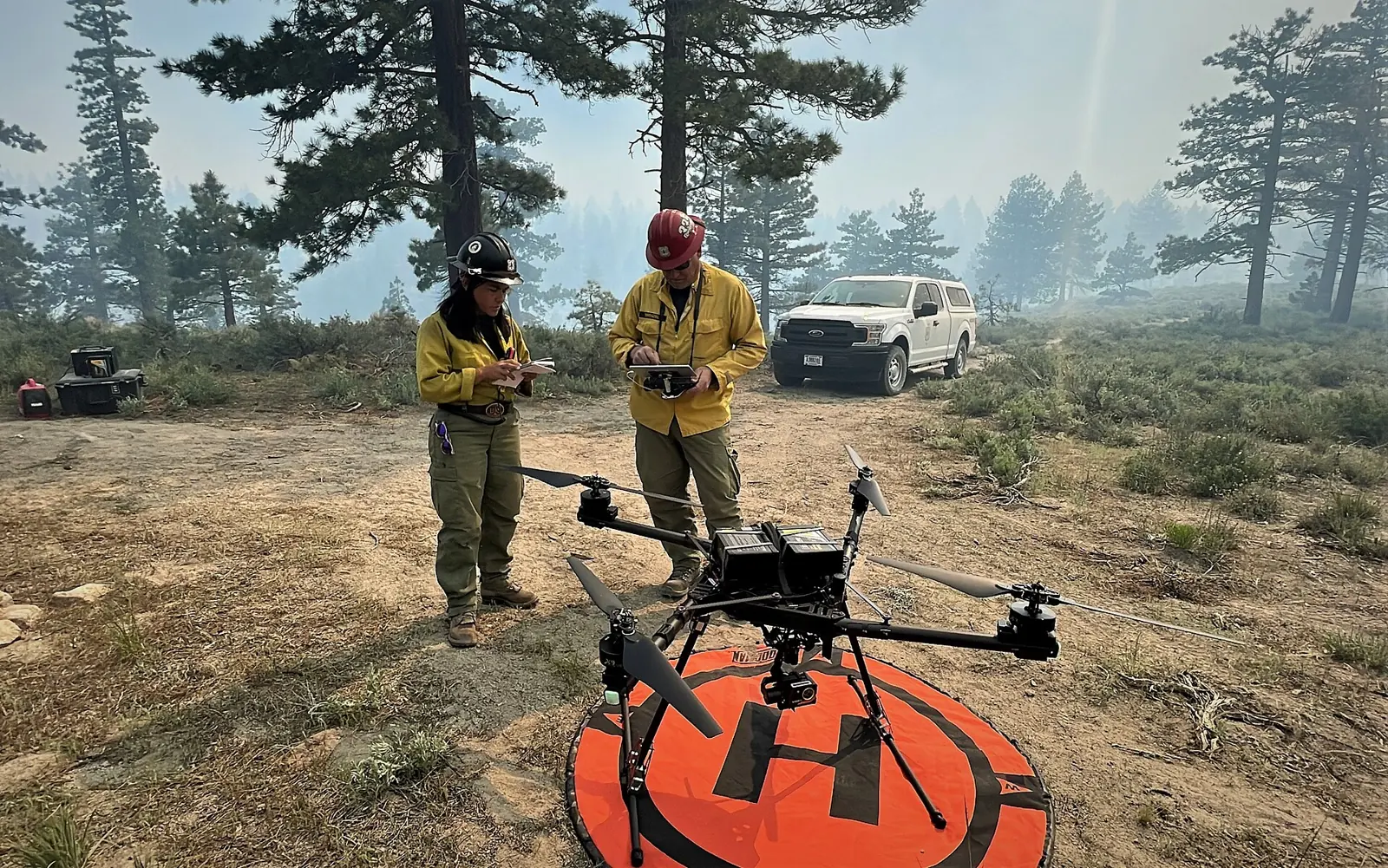
Verification flight · Drone 07
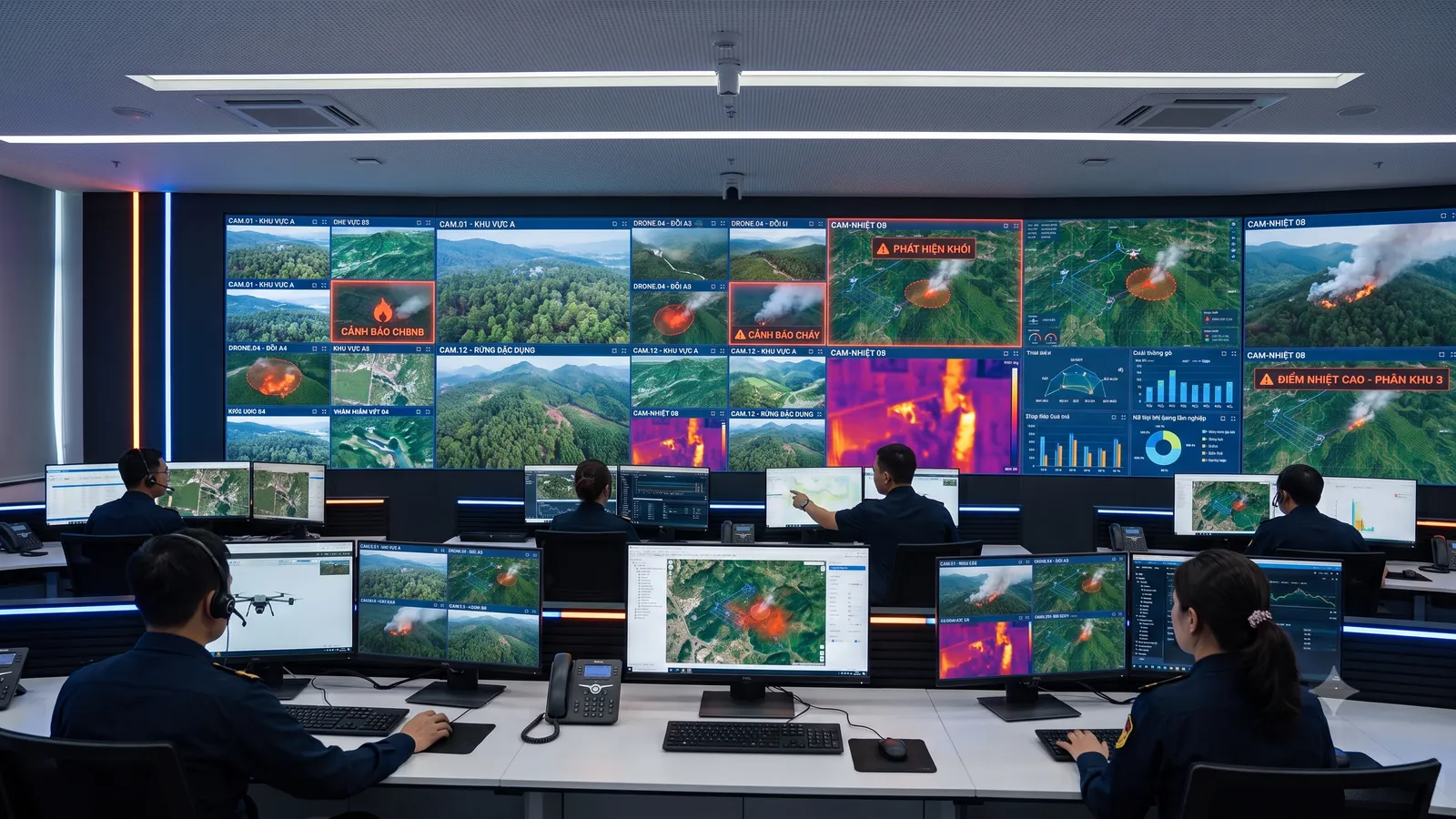
Live monitoring centre
The results of all four steps appear on a single screen: camera images, alerts, the map and drones for every area. Operators see the whole situation without switching between separate programs.
- Live imagesWatch many cameras at once; smoke and fire are outlined on the image.
- Smoke and fire alertsShown the moment they are detected, with a sound, images and location.
- MapCameras, drones and suspected fires on one satellite map.
- DronesTrack drone position, watch drone video and dispatch drones from the same screen.
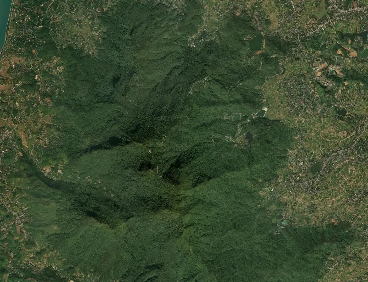
The whole area on one map
The satellite map shows where each camera is looking, where the suspected fire is and which drone is nearest.
- L1Satellite imagery
- L2Managed zones
- L3Cameras and viewing direction
- L4Suspected fires
- L5Nearest drone and flight path
Patrols and drone operations
Besides verifying alerts, drones fly regular patrols. Scheduling, tracking and control all happen in the same system.
Scheduled flights
Plan a single flight or a schedule that repeats daily or weekly. The system creates each flight and reminds the person in charge beforehand.
Pre-drawn routes
Draw a route on the map once and reuse it for later flights. The drone flies the whole route and returns to its station on its own.
Pre-flight checks
Wind, rain, battery, height above terrain and no-fly zones are all checked. If a check fails, the drone does not take off.
Flight tracking
See the drone's position, altitude, battery and video throughout the flight.
Control when needed
Send the drone to another point, pause it, take photos, zoom in or call it back to its station.
Flight history
The path and video of every flight are saved for review and reporting.
What you need to get started
The system has three parts. You can start with cameras and software and add drones later.
Cameras in the forest
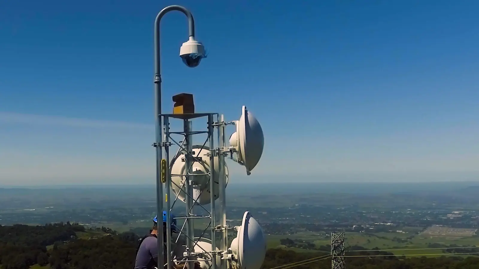
Cameras mounted on masts or high points to cover a wide area.
Your existing cameras can be used if they support the ONVIF connection standard.Drones and drone stations
Each drone waits in a station in the forest; the station opens for take-off, receives the drone on return and recharges it.
Optional: detection, location and alerts work without drones.Software
Used in a web browser at the monitoring centre and in a mobile app for people in the field.
Each unit sees and is alerted about only the area it is responsible for.
Frequently asked questions
Does the system alert before flames appear?
Yes. The AI recognises both smoke and fire, and an alert is sent as soon as smoke is seen, which is usually before flames break out. The unit responsible gains time to verify and respond.
Does an alert mean a fire has broken out?
Not necessarily. Every alert is a suspected fire: the image shows signs of smoke or fire that have not yet been checked, because fog, low cloud or smoke from field burning can look like wildfire smoke. A suspected fire is confirmed only after a drone or people on the ground have checked it.
Is the location in an alert the camera's or the fire's?
The suspected fire's. The system uses where the camera is installed, where it is looking and the local terrain to work out the direction, distance and coordinates of the suspected fire. These coordinates are sent with the alert, shown on the map and used as the drone's destination.
How are alerts delivered?
Four ways: the monitoring screen (instant, with a sound), the mobile app, email and Telegram. Each unit chooses how it wants to be alerted and receives only alerts for the area it is responsible for.
Does a drone need someone to fly it?
Not necessarily. The drone takes off from its station, follows the planned route and returns on its own. Operators watch on screen and can step in at any time: pause the drone, change its destination or call it back.
Can a drone go out to verify when nobody is on duty?
Yes, if your unit turns on automatic mode. You choose the hours it applies (for example nights only) and which drones may fly on their own. Before every flight the system still checks weather, battery and flight path; if a check fails, the drone does not take off.
Can we use the cameras we already have?
Yes, if they support ONVIF, the common connection standard for surveillance cameras. The ForestGuard AI team will check your existing equipment before deployment.
Can the system be used without drones?
Yes. Smoke and fire detection, location and alerts work independently of drones. Without drones, verification is done by people on the ground; drones can be added later.
How are alerts and flights stored?
Each alert is saved with its images, video, time, location and outcome. Each flight is saved with its path and video. The data is used for look-ups, statistics by area and reports.
Can one system cover several forests?
Yes. All areas are on the same map; each unit receives only alerts for the area it is responsible for.
Book a demo
Please leave your contact details. The ForestGuard AI team will respond and arrange a trial deployment in your area.